Water Levels
Water Levels at a Glance
Visit the USGS’ dashboards for Lake Minnetonka and Minnehaha Creek to find additional historic and current water level data. Explore current and historic dam discharge rates on the Gray’s Bay Dam Operations page.
See How Water Flows Through the Landscape
Rain and snowmelt feed the lakes, streams, and wetlands of the Minnehaha Creek Watershed. The total amount of water flowing through the system is our “water budget,” with Lake Minnetonka serving as a reservoir that receives water from upstream. The Minnehaha Creek Watershed District (MCWD) operates Gray’s Bay Dam to minimize flooding on the lake and in Minnehaha Creek.
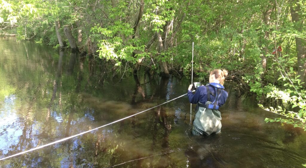
The map and data below show the current water budget. Click on each part of the watershed to see precipitation, evaporation, water level, volume, and dam discharge data. Water volume at different points shows how the water budget changes as water moves across a range of landscapes, from undeveloped green space to cities.
Upper Watershed
Lake Minnetonka
Minnehaha Creek
The upper watershed received {{getPrecipitationValue}} inches of rain over the past {{daysCount}}.
Approximately {{getUpperFlowTotal}} acre-feet of water moved through the nine Upper Watershed tributaries into Lake Minnetonka
Lake Minnetonka received {{getPrecipitationValue}} inches of rain over the past {{daysCount}}, while {{getEvapTotal}} acre-feet of water evaporated from the lake.
The current lake level is {{currentLakeLevel}} feet, {{currentLakeLevelComparison[0]}} {{currentLakeLevelComparison[1]}} feet from {{daysCount}} ago.
Current dam discharge is {{currentDamDischarge}} cfs. Over the past {{daysCount}}, dam discharge contributed {{getDischargeTotal}} acre-feet of water to Minnehaha Creek.
Minnehaha Creek received {{getPrecipitationValue}} inches of rain over the past {{daysCount}}.
Current creek level is {{currentCreekLevel}} feet, {{currentCreekLevelComparison[0]}} {{currentCreekLevelComparison[1]}} feet from {{daysCount}} ago.
Over the same period, the creek contributed approximately {{cumulativeCreekFlow}} acre-feet of volume to the Mississippi River.
Last {{daysCount}} Waterflows
The upper watershed drains through 104 square miles of rural and suburban land to Lake Minnetonka. Out of its nine subwatersheds, Six Mile Creek-Halsted Bay, Painter Creek, and Long Lake Creek are the largest.
The upper watershed is a rich landscape of waterways and undeveloped green space. It functions like a sponge, absorbing water rather than producing significant runoff. MCWD manages each subwatershed within the upper watershed through individual implementation plans. Discover the issues, drivers and management strategies by exploring our watershed.
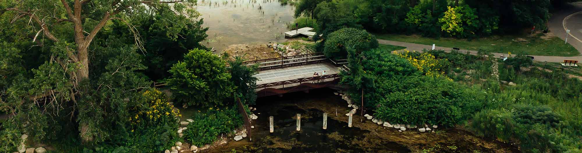
The Lake Minnetonka subwatershed covers 50.8 square miles. The lake rises and falls with precipitation, flow from the upper watershed, and evaporation. At its outlet, MCWD operates Gray’s Bay Dam, the headwaters of Minnehaha Creek.
At 22.7 square miles, Lake Minnetonka is the ninth largest lake in Minnesota, and forms the heart of the largest subwatershed in the Minnehaha Creek Watershed District. In the mid-1960s, severe flooding along Minnehaha Creek prompted residents to petition for flood management on a watershed scale. This resulted in MCWD’s formation in 1967, and 10 years later the construction of Gray’s Bay Dam. Today, amid changing weather and precipitation patterns, dam operation is evolving to leverage advances in forecasting, remote sensing, and modeling. The dam has a unique story that reflects past, present, and future natural resource management in our region.
Minnehaha Creek is an intermittent stream, meaning it stops flowing in very dry conditions. It runs through five cities on its 23-mile journey to the Mississippi River. Precipitation, dam discharge, and stormwater runoff from the developed landscape contribute to creek flow.
Interested in paddling Minnehaha Creek? Ideal creek flows for paddling are between 75 and 150 cubic feet per second (cfs). We do not recommend paddling when the creek’s flow is higher than 150 cfs. Conditions can change rapidly, especially after rainfall, due to stormwater runoff from the urban environment.
Notes: Acre-feet is a measure of water volume equivalent to 325,851 gallons. One acre-foot of water covers one acre of land (about the size of a football field) one foot deep. Cubic feet per second (cfs) is a measure of water volume flow equivalent to approximately 7.5 gallons.
Land Use Affects How Water Flows
When land is developed, soil and vegetation are often replaced with impervious surfaces such as roads, sidewalks, and buildings, which prevent water from infiltrating into the ground and cause water to run off quickly. This results in higher peak flows during storm events and can cause flooding and erosion downstream. In contrast, natural vegetation and soil can absorb and slow down water, reducing the amount and speed of runoff.
MCWD works closely with land use decision makers to integrate water resource and land use planning and factors the amount and timing of runoff into Gray’s Bay Dam operations, stormwater management, and strategic capital projects across the watershed.
The graphic below shows the distribution of high and low runoff land use across the Upper Watershed, Lake Minnetonka, and Minnehaha Creek subwatershed. Each square is equal to about 5 acres of land.


The Upper Watershed is dominated by wetlands, agricultural land, and open water. These land uses contribute to relatively low runoff.
Lake Minnetonka is the largest lake in the Twin Cities metro. With low density development being a primary land use around Lake Minnetonka, this area contributes relatively low runoff.
Minnehaha Creek subwatershed is highly urbanized. Its transportation, industrial, and commercial and residential land uses contribute high runoff.
Additional Data and Information
External Spatial Data Sources
External Water Data Sources