Climate Action Framework
Our Roadmap for Climate Action
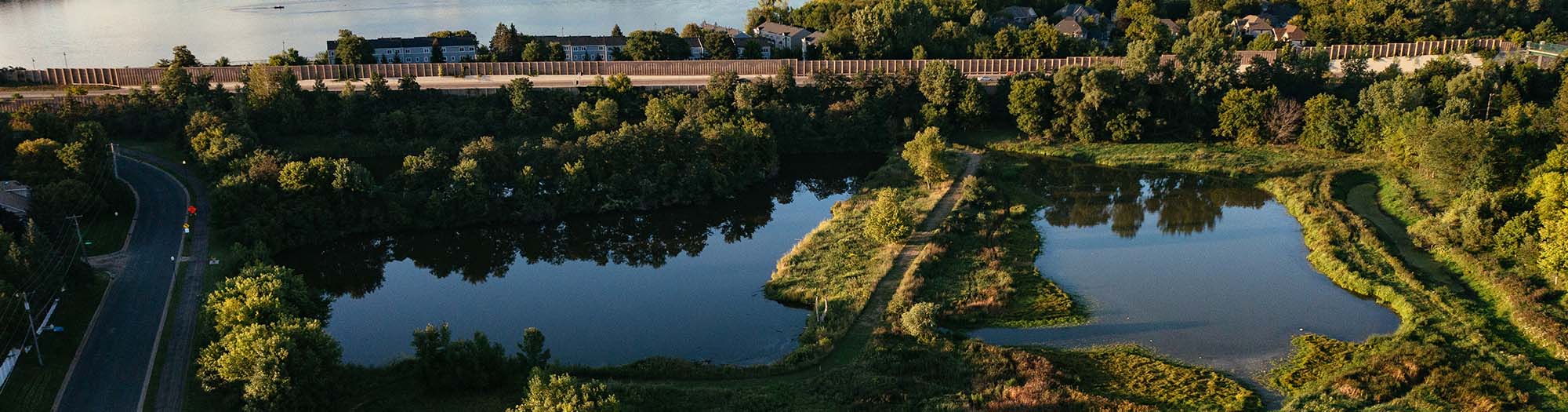
Within the watershed, more extreme flooding and drought are already impacting our treasured water resources and the communities that depend on them. Understanding that our precipitation patterns are actively shifting, and that land use and water management are inextricably linked, reinforces the need to deepen and evolve our collaborative approach.
Our Climate Action Framework addresses that need by outlining the actions we will take leading up to our 2027 Watershed Management Plan. In order for us to deliver coordinated project and policy solutions across the entire watershed, we must build a data-driven understanding of current and future impacts, and bring all partners together to integrate their goals and equitably build resilient communities.

A Coordinated Strategy for Building Resilience
The Climate Action Framework is built on three pillars, shown below. First, we must have the ability to understand and predict vulnerabilities across the watershed. Next, we will convene with our partners and plan for a coordinated watershed adaptation strategy. Then, we will implement high-impact projects and policies with regional benefit, measure their effectiveness, and continue to learn and adapt.
Select a pillar to explore near-term actions.
Understand & Predict
Expand data collection and analytical capabilities to predict the vulnerabilities and risks of climate change across the watershed.
| Understand & Predict | |
| Near-term Climate Actions | Timeframe |
|
Expand Real-Time Water Level Monitoring Build out MCWD’s RESNET to expand the collection of high-resolution water quality, water level, and flow rate data, to provide real-time water level information to partner agencies and the public, to deepen the understanding of how the watershed is reacting to changing precipitation patterns, and to supply the data necessary to calibrate watershed models. |
In Progress – 2027 |
|
Improve Short-Term Water Level Predictions Leverage RESNET data with machine learning models to develop short-term water level predictions at key locations throughout the watershed that support preemptive emergency flooding communications, and the ongoing optimization of Gray’s Bay Dam. |
In Progress – 2023 |
|
Optimize Gray’s Bay Dam Operations Use real-time water level data, weather forecasts, and machine learning models to continue optimizing Gray’s Bay Dam operations to maximize storage ahead of storms, minimize flooding, and extend baseflow during droughts to improve ecological function. |
2023 – 2027 |
|
Build a Pilot 2D Model Build a pilot 2D model, as a proof of concept, to assess appropriate model platform suitability for future climate scenario modeling, and build prototype data pipelines for automated collection and processing of municipal storm sewer data at a watershed scale. |
In Progress – 2023 |
|
Build a Watershed-Scale 2D Model Develop a watershed-scale 2D model that integrates municipal storm sewer data, land surface, land cover, and RESNET data to characterize and quantify vulnerabilities within the built and natural systems, and to inform collaborative decision-making on climate adaptation projects and policies. |
2023 – 2026 |
|
Assess Watershed Vulnerabilities Use the 2D model in combination with downscaled regional climate data to quantify and assess vulnerabilities within built and natural environments due to shifting precipitation patterns. |
2024 – 2026 |
Convene & Plan
Bring together local, regional, and state agencies to build consensus around the issues, align goals, form partnerships, leverage resources, and develop a coordinated strategy.
| Convene & Plan | |
| Near-term Climate Actions | Timeframe |
|
Develop Stakeholder Engagement Plan Building off ongoing stakeholder processes, develop a plan to engage local, regional, and state partners, from a technical to policy level, in MCWD’s climate action planning leading from now to the delivery of the 2027 Watershed Management Plan. |
2024 |
|
Convene and Engage Partners in Climate Conversations Gather with state, regional, and local-level staff and policymakers to discuss issues of climate change, understand the challenges facing partners, and their respective climate action plans and priorities. |
2024 – 2025 |
|
Discuss Vulnerabilities and Conduct Scenario Planning Use MCWD’s 2D model with local, regional, and state partners, to evaluate climate vulnerabilities within the watershed’s built and natural systems and evaluate the tradeoffs of various potential project and policy strategies or scenarios. |
2025 – 2026 |
|
Project Prioritization Determine the appropriate measures and approaches for assessing climate mitigation and adaptation benefits as part of MCWD project planning. Integrate adaptation and mitigation criteria into capital project planning and prioritization. |
2023 – 2026 |
|
Develop Project and Policy Strategy for a Resilient Watershed Build clarity and consensus with partners on a project and policy strategy and roles, to build a resilient watershed in the face of climate change, for integration into MCWD’s 2027 Watershed Management Plan. |
2025 – 2027 |
|
Build and Integrate an Equity Lens Continue developing and integrating an equity framework to inform MCWD’s planning and implementation of climate action. |
2024 – 2025 |
|
Develop Flood Action Plan Develop a flood action plan to delineate MCWD’s role and operations in gathering and communicating real-time watershed information with emergency managers and the general public during flood events. |
2024 – 2025 |
Implement, Measure, & Adapt
Coordinate implementation actions with partners to make measurable progress towards goals. Implementation actions may include projects, policy changes, and operational improvements.
| Implement, Measure, & Adapt | |
| Near-term Climate Actions | Timeframe |
|
Implement Projects that Build a Resilient Landscape Continue to factor mitigation and adaptation into MCWD capital projects and planning to deliver high-impact projects across the watershed that build landscape resilience to changing precipitation patterns. |
In Progress – 2027 |
|
Measure the Climate Benefits of MCWD’s Existing Projects Evaluate and account for the climate mitigation and adaptation benefits from MCWD’s existing capital projects and land assets. |
2024 – 2027 |
|
Evaluate and Improve MCWD Operations Evaluate opportunities within MCWD operations, and implement changes to reduce greenhouse gas emissions. |
2024 – 2027 |
|
Modernize Gray’s Bay Dam Assess the feasibility of modernizing Gray’s Bay Dam with technology that link operations to MCWD’s RESNET, forecasts, and short-term machine learning predictions of water levels, to maximize storage and minimize flooding before and during flood producing rain events. |
2026 – 2027 |