Filter by category:

Water Level Update – May 1, 2023

2022 Precipitation & Drought Summary The Twin Cities ended 2022 with 22.97 inches of total precipitation, which was 8.65 inches...
Read Post

Water Level Update – September 30, 2022

Drought conditions have expanded across Minnesota. The September 27, 2022, U.S. Drought Monitor map update (shown below on the right), identifies that 4.37% of...
Read Post

Water Level Update – July 22, 2022

The U.S. Drought Monitor map for Minnesota is updated every Thursday. The July 21, 2022, drought map update identifies that approximately 1.46%...
Read Post

Water Level Update – July 14, 2022

Dry conditions across Minnesota began in 2020 and expanded rapidly across the state during the summer of 2021. The Minnehaha...
Read Post

Water Level Update – June 14, 2022

The Minnehaha Creek Watershed District (MCWD) opened the Gray’s Bay Dam for the first time in 2022 on Wednesday, June...
Read Post

Water Level Update – July 23, 2021

Gray’s Bay dam was closed on Wednesday, July 21, as required by the dam’s operating plan when Lake Minnetonka falls...
Read Post

Water Level Update – May 17, 2021

The Gray’s Bay Dam was opened for the first time in 2021 on Friday, May 14. Due to dry weather...
Read Post

Water Level Update – October 7, 2020

Gray’s Bay dam was closed on Monday, October 5, as required by the dam’s operating plan when Lake Minnetonka falls...
Read Post

Water Level Update – September 14, 2019

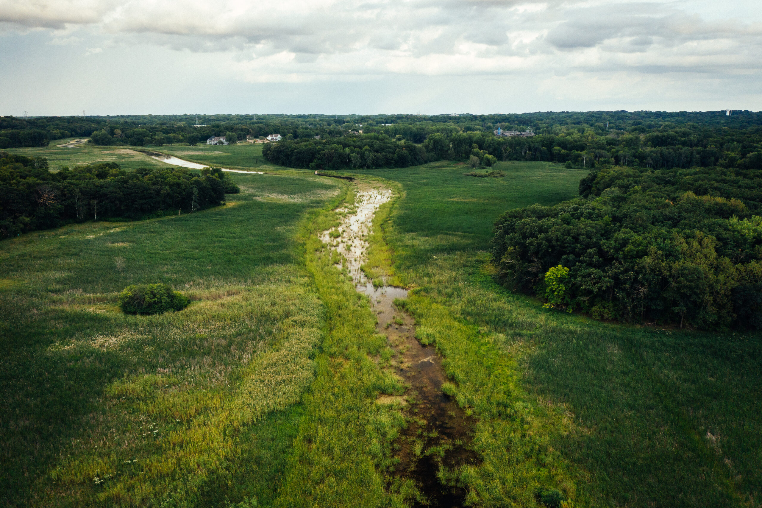
Potential High Water Update Rainfall totals between September 9-12 totaled on average between approximately 2.5 – 3.3 inches according to the Hennepin...
Read Post

Water Level Update – March 17, 2020

After close coordination and consultation with its partners and communities, Minnehaha Creek Watershed District (MCWD) opened the Gray’s Bay Dam for...
Read Post

Water Level Update – September 17-20, 2018

Between September 17 – 20 rainfall totals across the Minnehaha Creek Watershed ranged between 2-5 inches. On September 20, 2018...
Read Post